How to find anything in Waynesboro
Maps
Link to Waynesboro GIS : layers include tax parcels, zoning, water, sewer, storm water, flood plain, topo, aerials, school district, and wards.
Location
Economic Development Office
Cities Reached in One Day Truck Distance
Planning
City Land Use
City Zoning
Incentive Zones
Enterprise Zones:
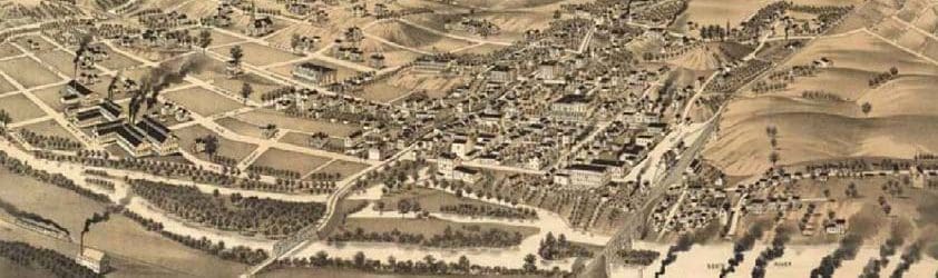
City Overview
Area 1
Area 2
Area-3
Tourism Development Zone:
City Overview
Downtown
East Main
Interstate
Downtown Districts
HUB Zone
City Map with Census Tracts
Workforce
Commuting to Waynesboro
Downtown
Downtown Districts
CDBG Program Area